Remotely Piloted Aircraft System (RPAS)

Remotely Piloted Aircraft System (RPAS)

A High Resolution Camera Or Lidar Mounted On A RPAS Provides Rapid And Effective Data Collection For A Variety Of Needs

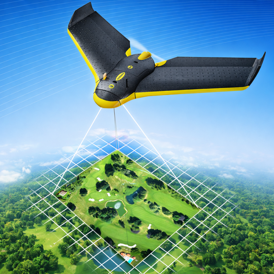
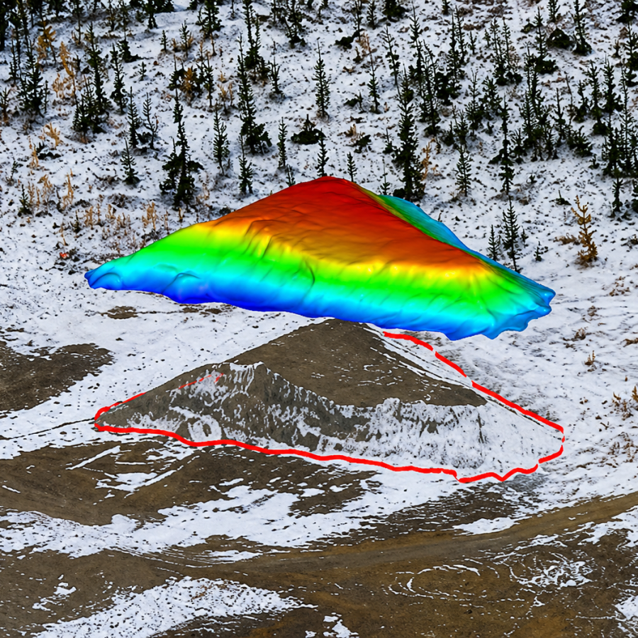
Ollerhead & Associates Ltd. provides aerial mapping for numerous applications in a variety of industries. Specific applications include:

  • High Resolution Orthophotography
  • High Resolution Point Clouds & Meshes
  • High Density Topographic Surveys
  • High Precision Volumetric Surveys
  • Obstacle Limitation Surveys
  • Aerial Photography and Videography
  • Thermal Aerial Photography

Aerial mapping is advantageous when detail and speed is a priority or direct site access is not possible. Situations where RPAS is preferred are:

  • Surveys of area with dense canopy that can be penetrated by Lidar
  • Surveys of areas where the terrain has high variation
  • Remote or inaccessible areas
  • Shorter time provided for data capture
  • Monitoring terrain or stockpile volumes over long durations
  • Projects with details that are easiest displayed by an orthophoto

MINE SITE GROUND & BATHYMETRIC SURVEY

mine videography

LIDAR FLY THROUGH WITH CONTOURS

Comments are closed.