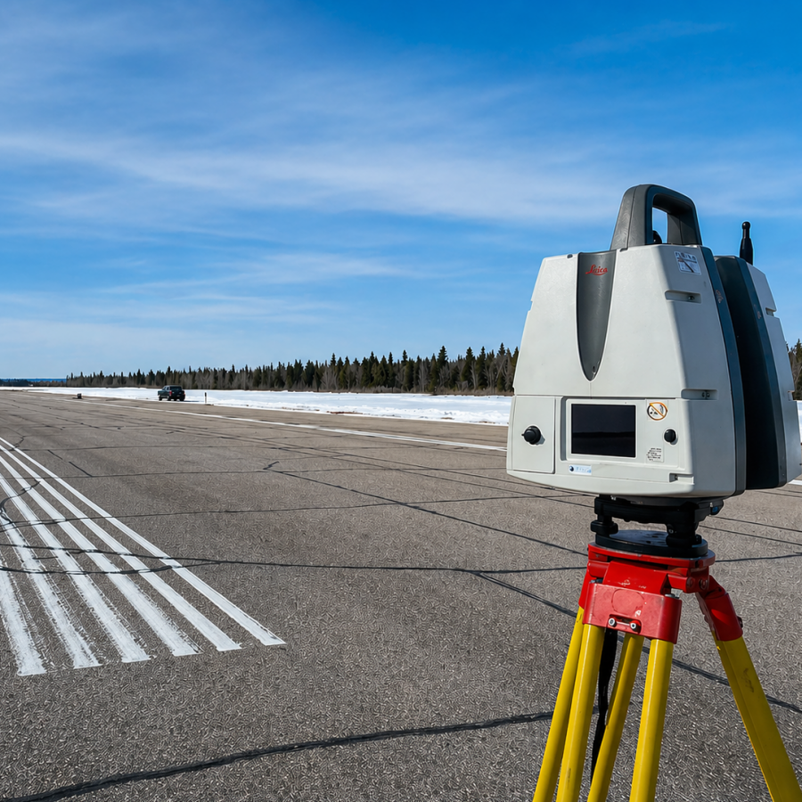
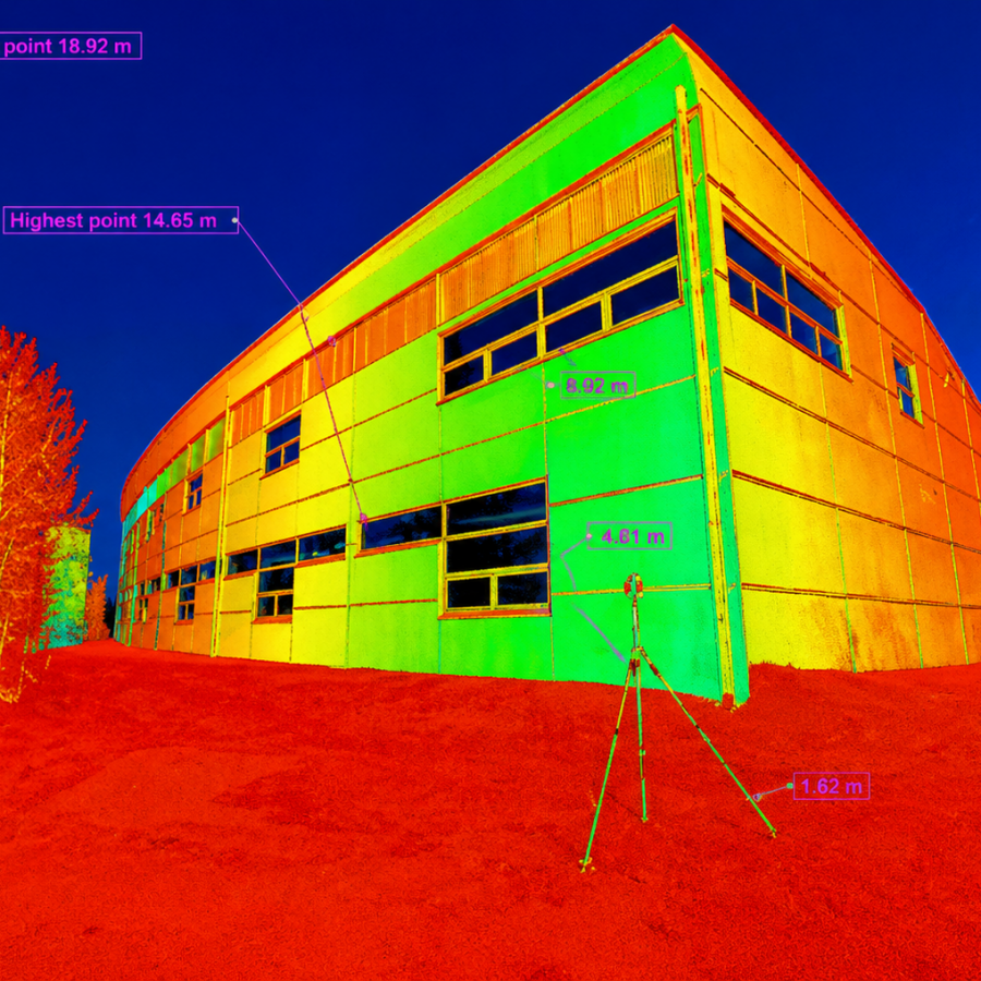
A Lidar Scan Provides The Ability To Digitally Revisit The Site Anytime Using A Combination Of Photographic Imagery And A 3d Point Cloud
Lidar instruments capture hundreds of thousands of 3D points per second. These points are colored by intensity of reflection or by the color of the reflected object.
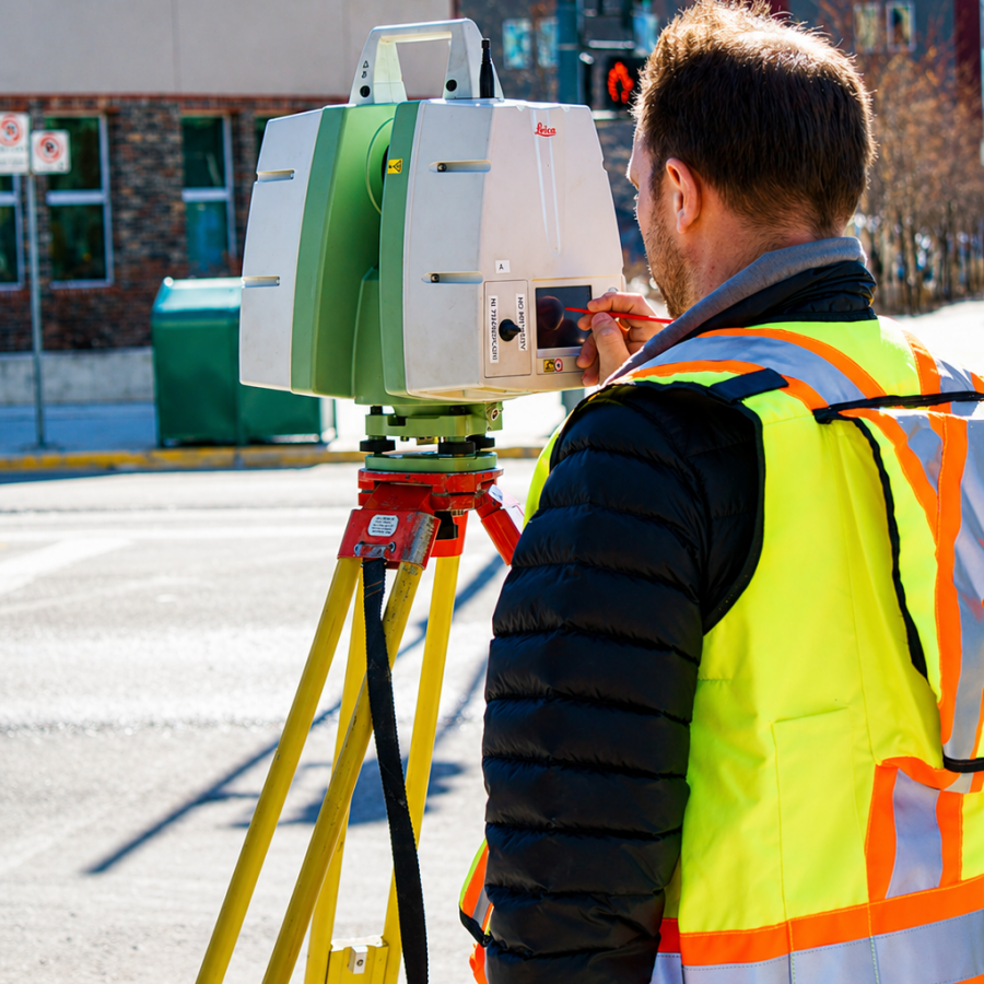
Ollerhead & Associates Ltd. can provide Terrestrial & Aerial Lidar Scanning to numerous industries such as Engineering, Construction, Mining, Architecture, Forensics, and Archaeology. Specific applications include:
High Density Topographic Surveys
High Precision Volumetric Surveys
Detailed Construction and Infrastructure As-builts
Deformation Monitoring
Complex Plant Site As-builts
Lidar Scanning is advantageous when detail and speed is a priority or direct site access is not possible. Situations where Lidar Scanning is preferred are: