Mineral Lease Surveys & Claim Staking

MINERAL LEASE SURVEYS & CLAIM STAKING

Accurate Marking, Recording, and Securing Exclusive Rights to Explore a Specific Area of Crown Land

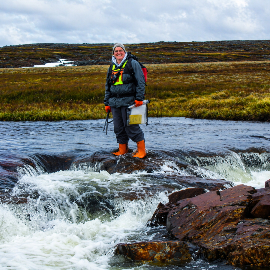
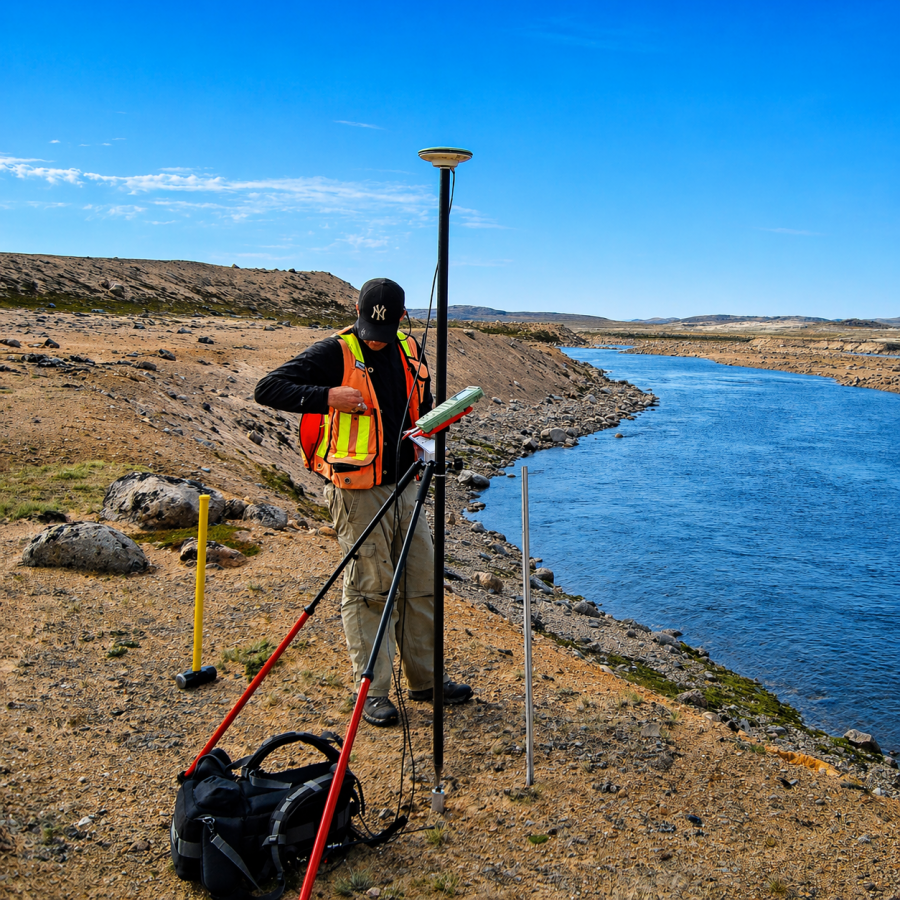
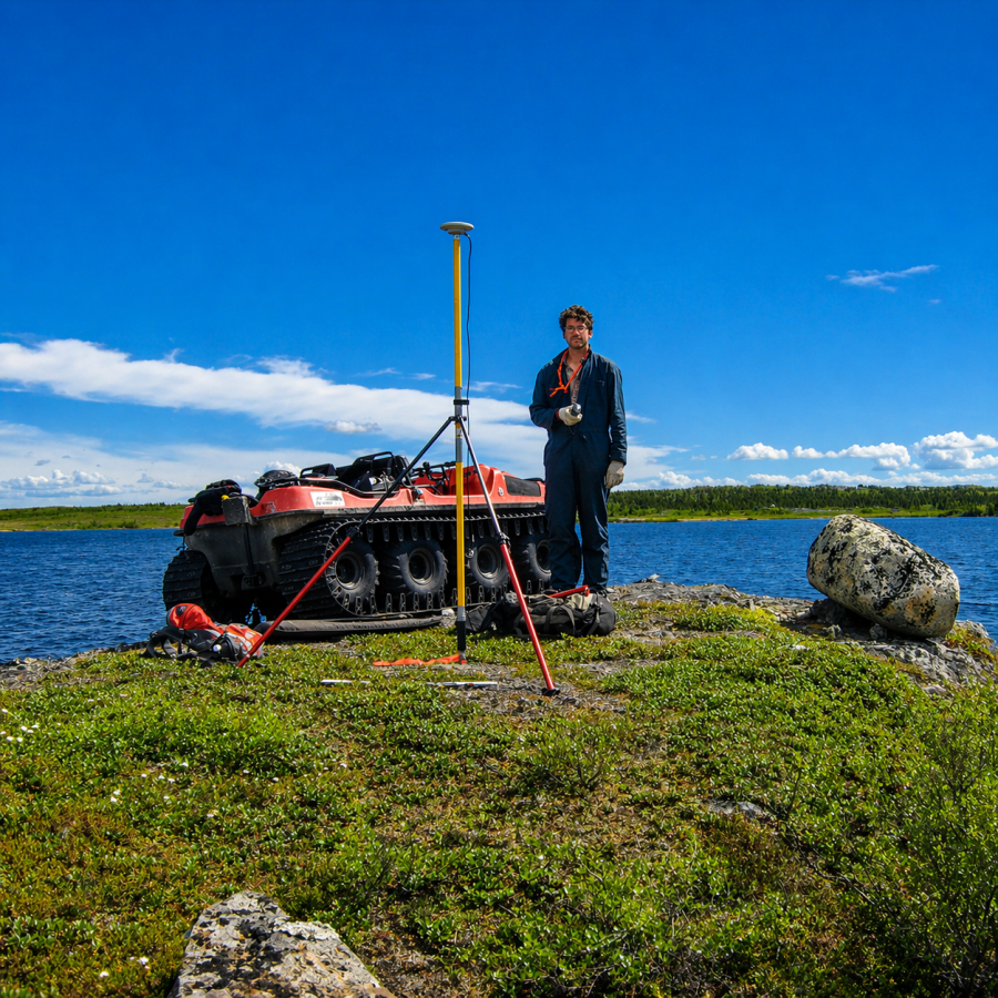
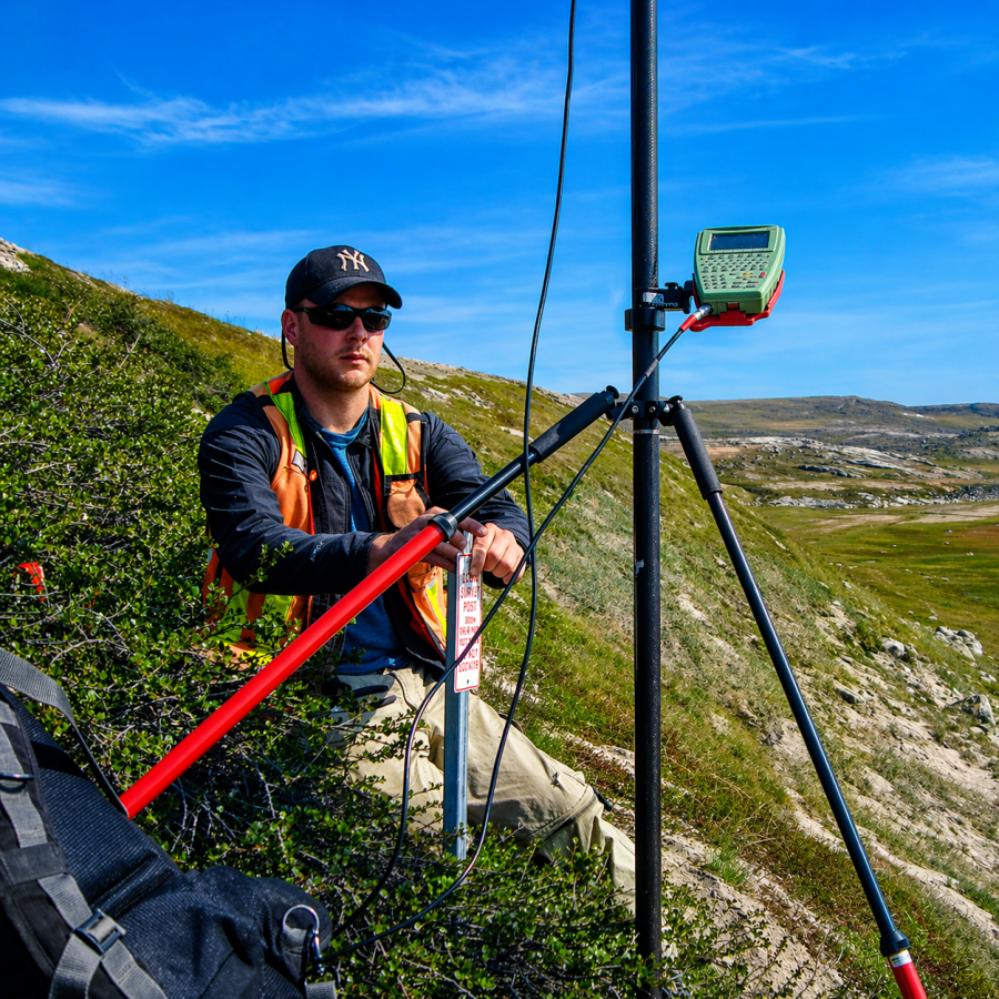
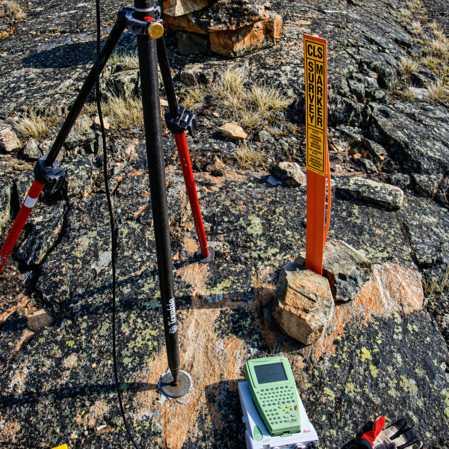
Ollerhead & Associates Ltd. has extensive experience staking mineral claims and surveying mineral leases throughout the Northwest Territories and Nunavut.

Our experienced survey crews utilize GNSS surveying techniques to navigate the challenging northern terrain, ensuring cost-effective and accurate results.

Ollerhead & Associates Ltd. has surveyed and staked mineral claims in all northern mining regions:

  • North Slave Region
  • South Slave Region
  • Slave Geological Province
  • Kitikmeot Region
  • Kivaliq Region
  • Qikiqtani Region

MINERAL CLAIMS PLAN OF SURVEY

Mineral Claims
NORTH ARROW: graphic symbol showing map orientation, indicating the north direction ADJACENT LOTS: are immediate lot next to the lot dealt with ADJACENT LOTS: are immediate lot next to the lot dealt with ADJACENT LOTS: are immediate lot next to the lot dealt with KEY PLAN: illustrates the location of a specific parcel within the overall lands TABLE OF EVIDENCE: indicates the monuments conditions, labels, stations, markings and comments CONTROL MONUMENTS TABLE: shows the reference points used to accurately position everything on the plan COMPANY CONTACT INFO: Clients can reach Ollerhead by phone, fax and email LEGEND: written explanations, references, and symbols to clarify the drawing SCALE BAR: Graphic ruler that measures distances from drawing to real world TITLE: identify the type of survey, record, registration and property's location NOTE: Identifies the specific quad location and time period of survey SURVEY DATE: effective date on which survey work is carried out and finalized PAPER SIZE: set to a convenient length and width for printing CERTIFICATION: to be certified by the Surveyor to attest the fulfillment of requirements CERTIFICATION: to be signed by the SGB to attest the fulfillment of requirements CANADA LANDS SURVEYOR RECORDS: to assign a unique survey document identifier by the SGB SURVEYED LOT: land area where the lot boundary was conducted PROJECT & CHECKLIST: these project numbers are unique assigned by SGB LOT BOUNDARY: defines the legal limit of the surveyed area MONUMENT'S MARKINGS: showing the current conditions and labels of the post TIE LINES: measured lines from monuments to ensure survey accuracy TIE LINES: measured lines from monuments to ensure survey accuracy ADJACENT SURVEYED LOT: next to the parcel lot being dealt with ADJACENT SURVEYED LOT: next to the parcel lot being dealt with

NORTH ARROW: graphic symbol showing map orientation, indicating the north direction

ADJACENT LOTS: are immediate lot next to the lot dealt with

ADJACENT LOTS: are immediate lot next to the lot dealt with

ADJACENT LOTS: are immediate lot next to the lot dealt with

KEY PLAN: illustrates the location of a specific parcel within the overall lands

TABLE OF EVIDENCE: indicates the monuments conditions, labels, stations, markings and comments

CONTROL MONUMENTS TABLE: shows the reference points used to accurately position everything on the plan

COMPANY CONTACT INFO: Clients can reach Ollerhead by phone, fax and email

LEGEND: written explanations, references, and symbols to clarify the drawing

SCALE BAR: Graphic ruler that measures distances from drawing to real world

TITLE: identify the type of survey, record, registration and property’s location

NOTE: Identifies the specific quad location and time period of survey

SURVEY DATE: effective date on which survey work is carried out and finalized

PAPER SIZE: set to a convenient length and width for printing

CERTIFICATION: to be certified by the Surveyor to attest the fulfillment of requirements

CERTIFICATION: to be signed by the SGB to attest the fulfillment of requirements

CANADA LANDS SURVEYOR RECORDS: to assign a unique survey document identifier by the SGB

SURVEYED LOT: land area where the lot boundary was conducted

PROJECT & CHECKLIST: these project numbers are unique assigned by SGB

LOT BOUNDARY: defines the legal limit of the surveyed area

MONUMENT’S MARKINGS: showing the current conditions and labels of the post

TIE LINES: measured lines from monuments to ensure survey accuracy

TIE LINES: measured lines from monuments to ensure survey accuracy

ADJACENT SURVEYED LOT: next to the parcel lot being dealt with

ADJACENT SURVEYED LOT: next to the parcel lot being dealt with

Comments are closed.