Land Claim & Indian Reserves Surveys

Land Claim Surveys

Land Claim Surveys

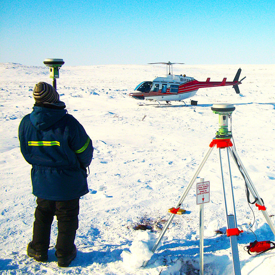
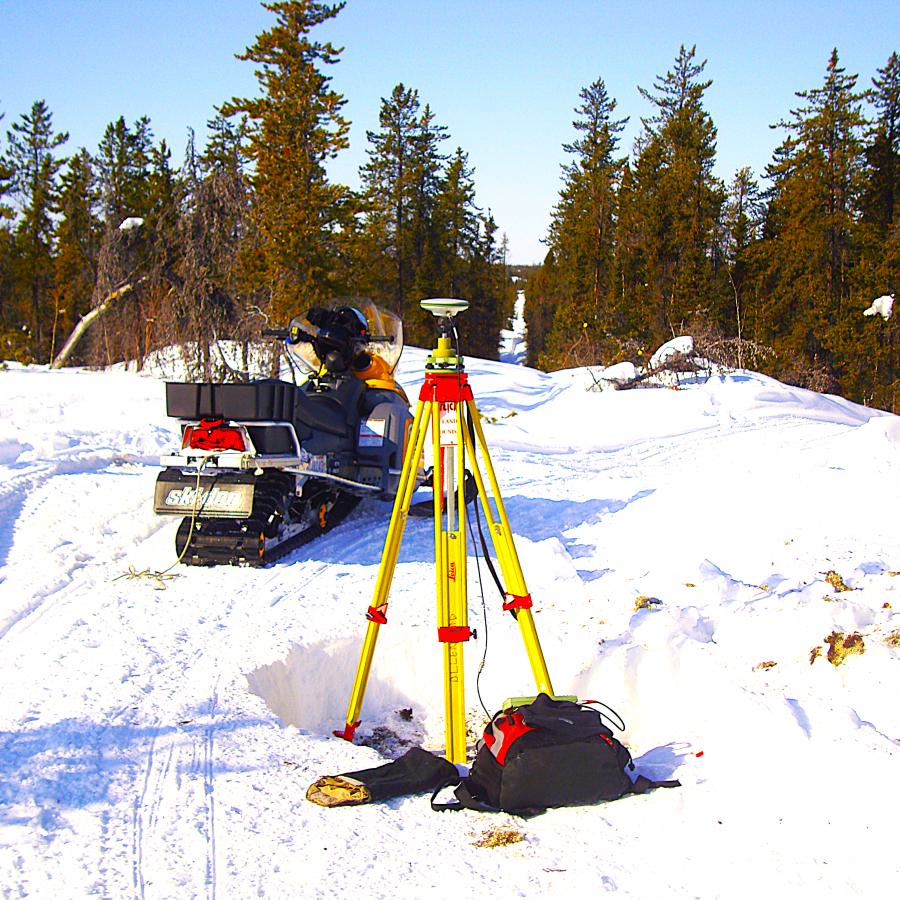
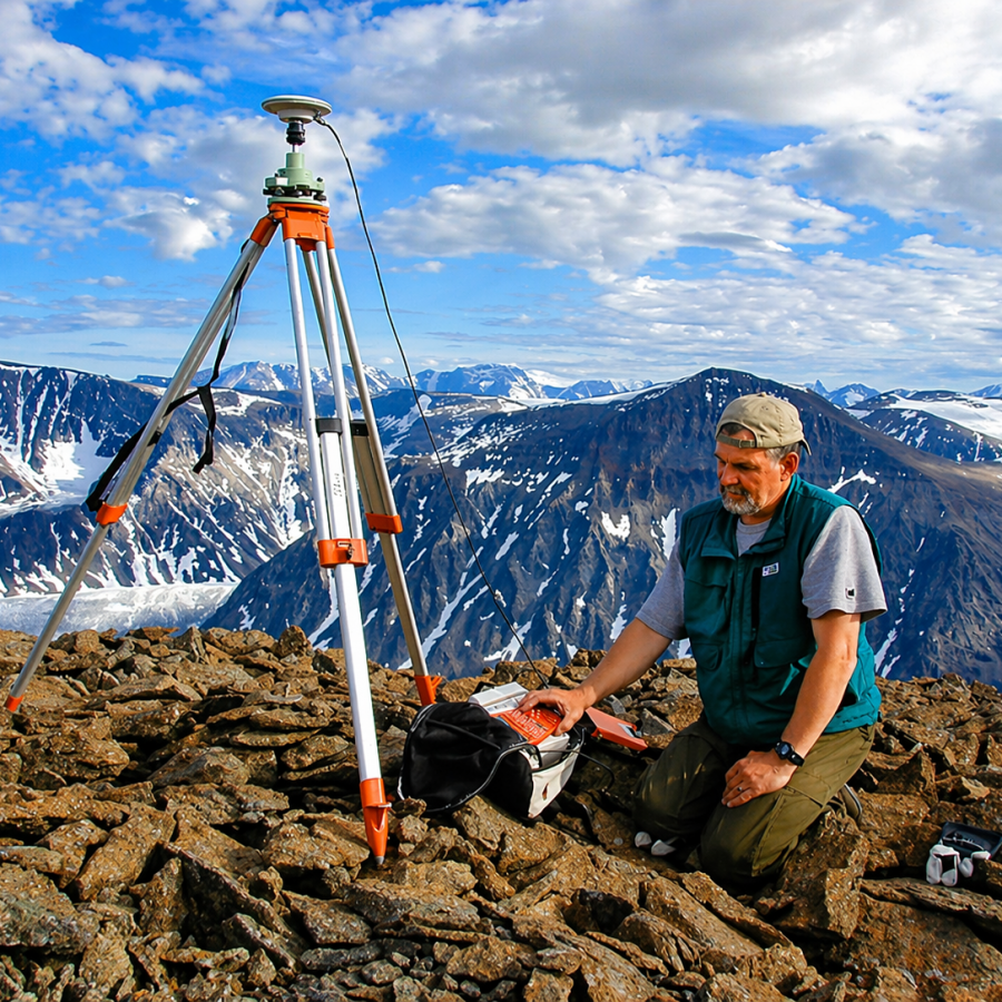
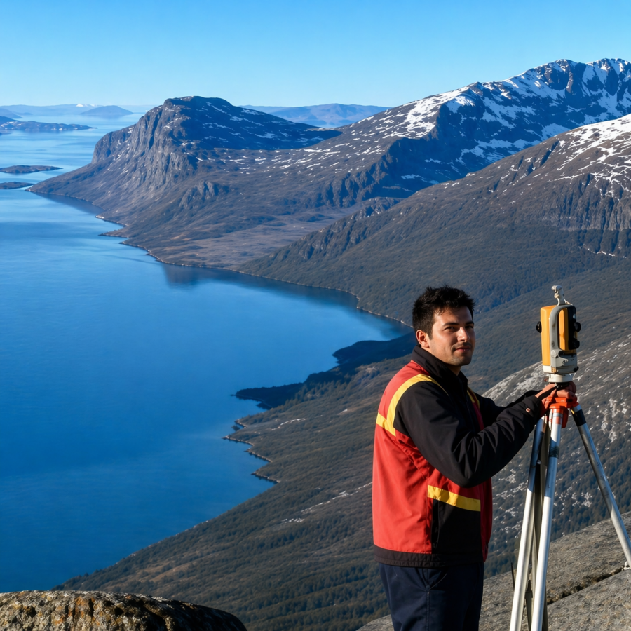
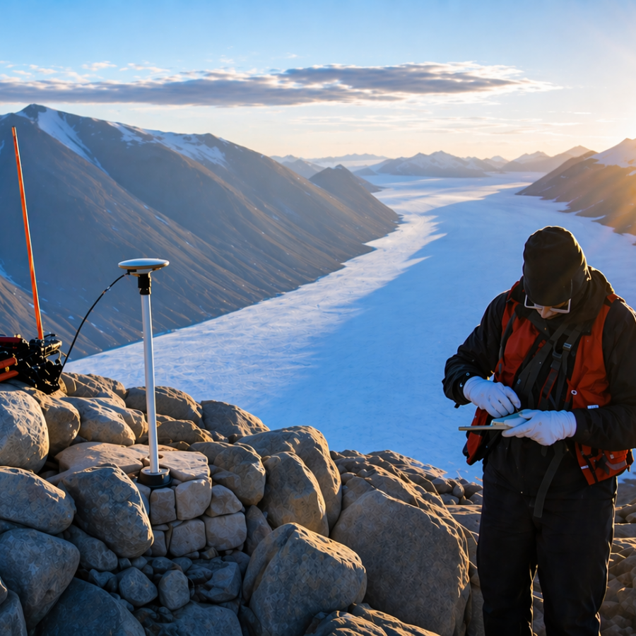
Ollerhead & Associates Ltd. use static and real-time GNSS methodologies, in conjunction with Precise Point Positioning online service, to provide accurate positioning for isolated boundary corners.

Project specific considerations include logistics, safety, environment, and the training and hiring of land claim beneficiaries.


Land Claim Surveys


We conduct land claim surveys throughout Nunavut and the Northwest Territories. Boundaries of the following land claim agreements have been surveyed by Ollerhead & Associates Ltd:

  • Sahtu Dene and Metis
  • Salt River First Nation
  • Tlicho Agreement
  • Nunavut Tunngavik Incorporated

OLLERHEAD & ASSOCIATES LTD. HAS A LONG HISTORY OF DOING LAND CLAIM AND INDIAN RESERVE SURVEYS GOING BACK TO ITS EARLY DAYS OF BUSINESS


Comments are closed.