Control Networks & Deformation Monitoring

CONTROL NETWORKS & DEFORMATION MONITORING

High Precision Deformation Surveys Are Used To Detect Slight Movements In Structures And Surfaces, To Ensure That Health, Safety, And Environmental Considerations Are Met

Ollerhead & Associates Ltd. is involved in the ongoing Deformation Monitoring of water retention dikes and open pit high walls at the Diavik Diamond Mine.

Since 2003, we have used a combination of high precision GNSS, conventional surveying and digital levelling instrumentation.

Ollerhead & Associates Ltd. can provide Deformation Monitoring Surveys using an array of equipment:

  • High Precision GNSS Receivers
  • Automated Motorized Total Stations
  • High Precision Digital Levels
  • Terrestrial Lidar Scanning
  • Ground Penetrating Radar

We are experienced with high precision survey equipment, data collecting procedures and proprietary software allowing us to design, build and maintain a Deformation Monitoring system for a variety of projects, such as:

  • Water Retention Dikes
  • Hydro-Electric Dams
  • Open Pit High Walls
  • Construction Retaining Walls
  • Air Strip and Construction Surfaces
  • Fuel Tank Side Walls
  • River Banks and High Erosion Areas

Our comprehensive monitoring strategy enables us to track and analyze any changes, providing early warning signs that allow prompt intervention and mitigation.

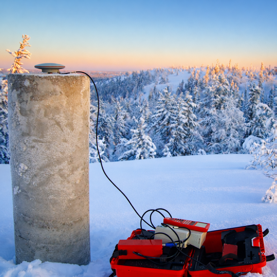
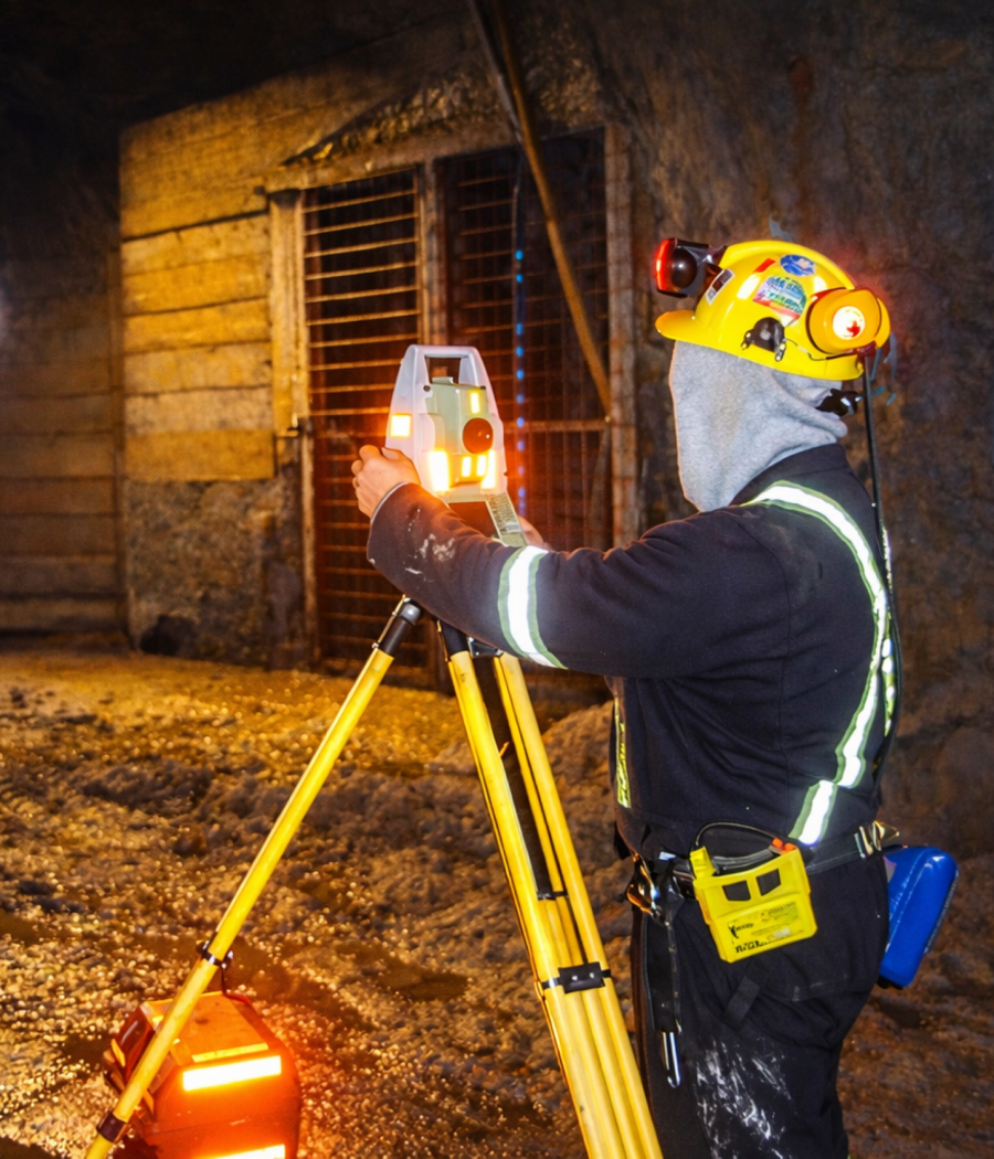
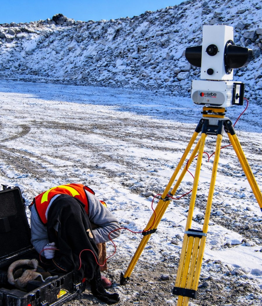
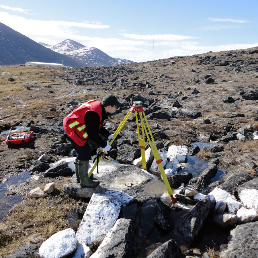
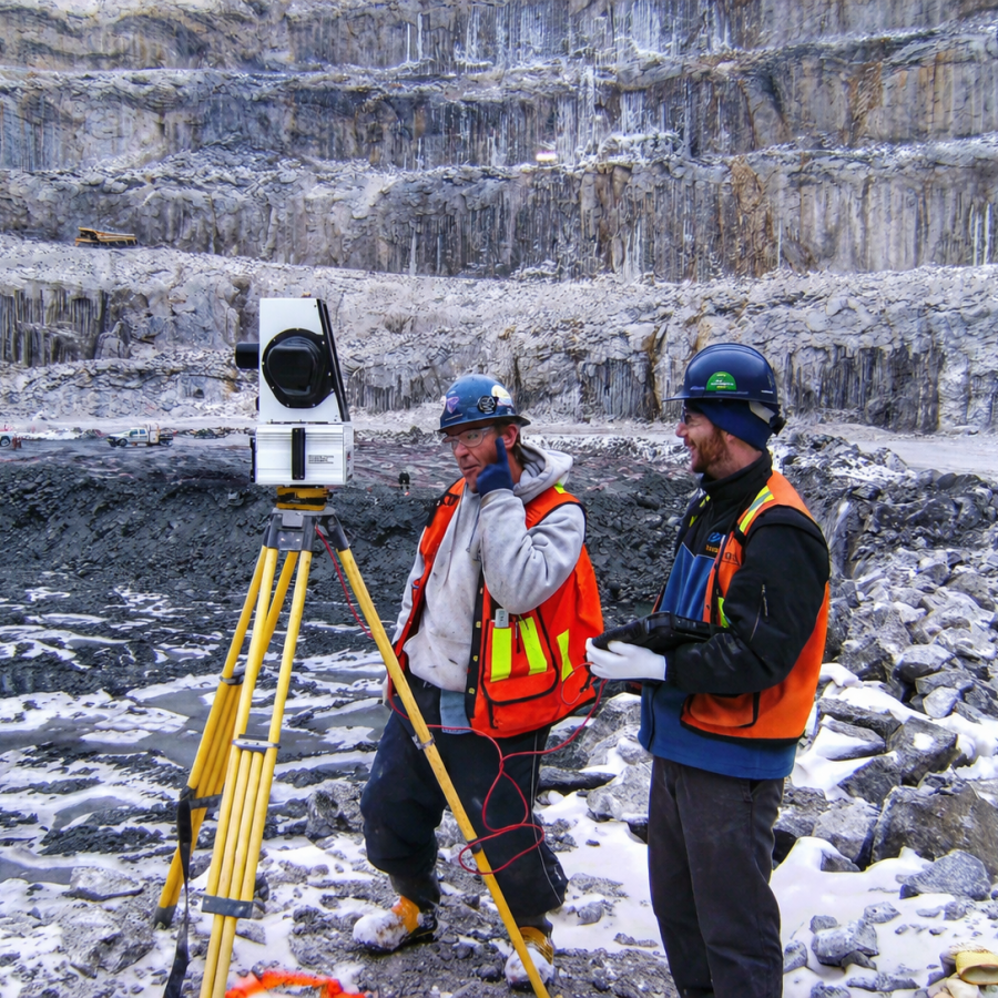
Ollerhead & Associates Ltd. establishes high precision control control networks ensuring accuracy and consistency for all surveying and construction on a site.

Our company offers extensive experience and expertise in the installation and surveying of high-precision horizontal and vertical control monuments for a wide range of applications.

Our team excels in establishing precision Control Network Surveys for the following purposes:

  • Construction and Mine Site Control Networks
  • Legal Survey Control
  • Updates and Densification of Existing Control Networks
  • Underground Mining Operations
  • Coordinate System Transformations
  •  Air Photo Target and Aerial Lidar Control

WHAT IS SEA LEVEL?

Mean sea level is an average surface level of one or more among Earth’s coastal bodies of water from which heights such as elevation may be measured.

http://www.ollerhead.ca/services/deformation-monitoring/

HIGH PRECISION DEFORMATION SURVEYS ARE USED TO DETECT SLIGHT MOVEMENTS IN STRUCTURES AND SURFACES, TO ENSURE THAT HEALTH, SAFETY, AND ENVIRONMENTAL CONSIDERATIONS ARE MET.

http://www.ollerhead.ca/services/deformation-monitoring/

Ollerhead & Associates Ltd. is involved in the ongoing Deformation Monitoring of water retention dikes and open pit high walls at the Diavik Diamond Mine.

Since 2003, we have used a combination of high precision GNSS, conventional surveying and digital levelling instrumentation.

Ollerhead & Associates Ltd. can provide Deformation Monitoring Surveys using an array of equipment:

  • High Precision GNSS Receivers
  • Automated Motorized Total Stations
  • High Precision Digital Levels
  • Terrestrial Lidar Scanning
  • Ground Penetrating Radar

http://www.ollerhead.ca/services/deformation-monitoring/

We are experienced with high precision survey equipment, data collecting procedures and proprietary software allowing us to design, build and maintain a Deformation Monitoring system for a variety of projects, such as:

  • Water Retention Dikes
  • Hydro-Electric Dams
  • Open Pit High Walls
  • Construction Retaining Walls
  • Air Strip and Construction Surfaces
  • Fuel Tank Side Walls
  • River Banks and High Erosion Areas

Our comprehensive monitoring strategy enables us to track and analyze any changes, providing early warning signs that allow prompt intervention and mitigation.

Ollerhead & Associates Ltd. establishes high precision control networks ensuring accuracy and consistency for all surveying and construction activities on a site.


Ollerhead & Associates Ltd. offers extensive experience and expertise in the installation and surveying of high-precision horizontal and vertical control monuments for a wide range of applications.

Our team excels in establishing precision Control Network Surveys for the following purposes:

  • Construction and Mine Site Control Networks
  • Legal Survey Control
  • Updates and Densification of Existing Control Networks
  • Underground Mining Operations
  • Coordinate System Transformations
  • Air Photo Target and Aerial Lidar Control

Comments are closed.