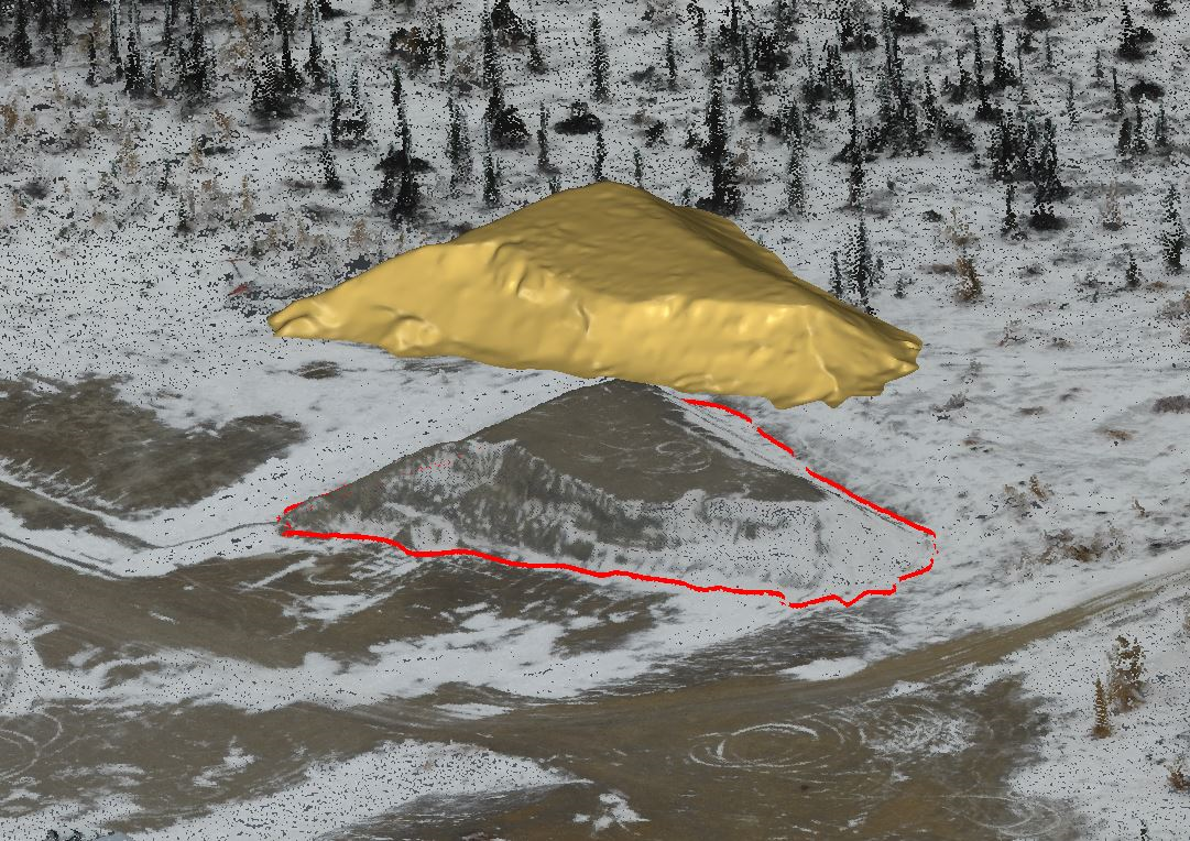
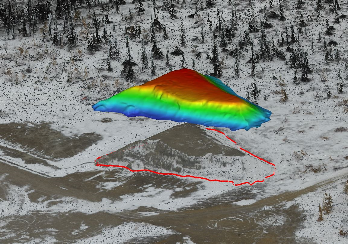
A HIGH RESOLUTION CAMERA MOUNTED ON A UAV (UNMANNED AERIAL VEHICLE) PROVIDES RAPID AND EFFECTIVE DATA COLLECTION FOR A VARIETY OF NEEDS
Ollerhead & Associates Ltd. provides Aerial UAV mapping for numerous applications in a variety of industries. Specific applications include:

- High Resolution Orthophotography
- High Resolution Point Cloud
- High Density Topographic Surveys
- High Precision Volumetric Surveys
- Obstacle Limitation Surveys
- Aerial photography and Video
- Thermal Aerial Photography
Aerial mapping is advantageous when detail and speed is a priority or direct site access is not possible. Situations where a UAV is preferred are:
- Variability in pixel resolution

- High accuracy with GPS ground control
- Capable of creating 3D Point clouds, 3D meshes, and orthomosaics for large areas
- Remote or inaccessible areas
- Shorter time required for more data capture
- Library of digital data for future use
- Fast turnaround on Orthophotography
Note all of our pilots are Transport Canada certified and all our drones are regulation compliant.

