North Arrow: a map symbol that shows which direction is north. It helps people understand how the map is oriented.
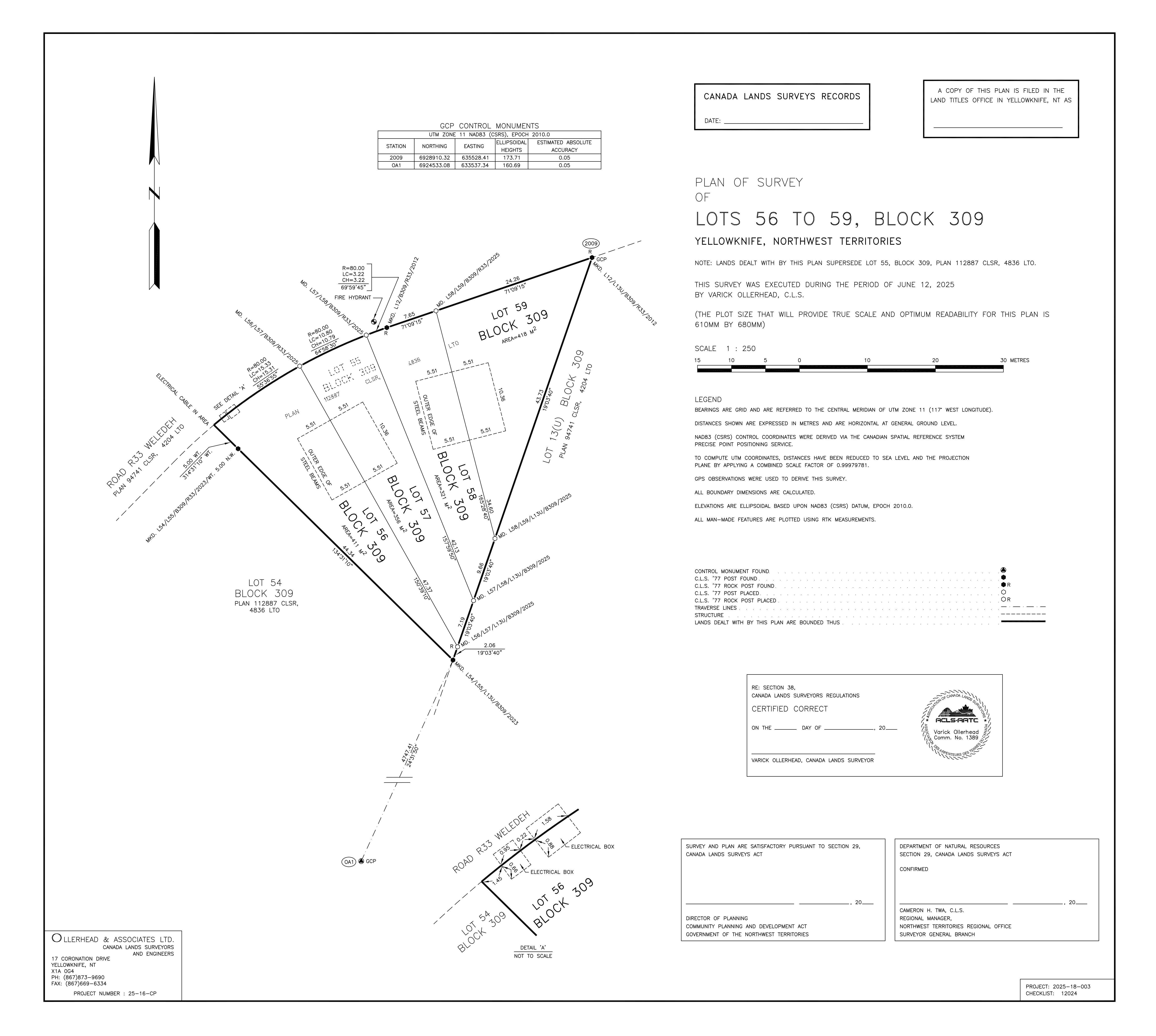
Control Monuments Table: shows the reference points used to accurately position everything on the plan.
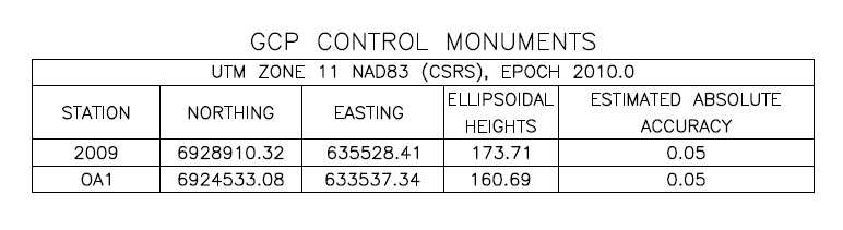
Title Block: a section on a legal plan that shows key information about the plan.
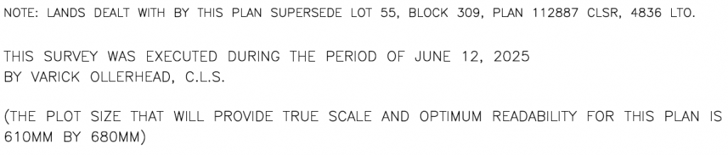
Notes: found within the title block and clarifys details not shown on the drawing.
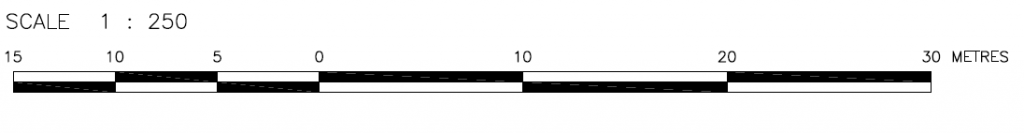
Scale Bar: compares paper distance to real-world distance.
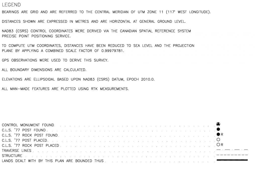
Legend: explains map symbols, lines, and colors for clear visual understanding.
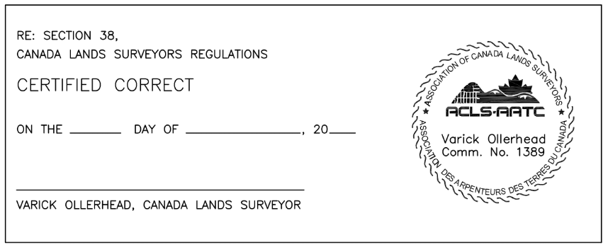
CLS Signature: certifies that the survey and the plan were done correctly.
Owner’s Signature: confirms approval and agreement with the survey work conducted on their land
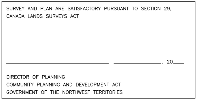
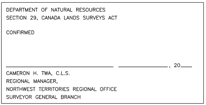
Signature of Regulator of Surveyor: approving the survey’s compliance with regulatory standards and practices.
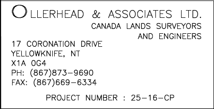
Our Contact Information: allows people to reach the company responsible for the plan.
Details: shows a close-up view of features needing more explanation than the main map can show.

Border: outlines the plan, keeping content organized and within a defined space.
Steel Beam: represents the outer edge of steel beams that will be used to support a house.
Steel Beam: represents the outer edge of steel beams that will be used to support a house.
This dashed line represents the outer edge of steel beams.
Survey Area Boundary: defines the outer limit of the survey area.
Previous Information: shows former lot and plan details to support current boundary definitions.
New Information: indicates the lot number, block number, and area within the new lot that is being subdivided.
New Information: indicates the lot number, block number, and area within the new lot that is being subdivided.
New Information: indicates the lot number, block number, and area within the new lot that is being subdivided.
This indicates the lot number, block number, and area within the new lot.